Xcalibur Multiphysics Group is preparing to roll out the second phase of an airborne geophysical and geological mapping program in the Democratic Republic of Congo (DRC), one month after signing a second contract worth $297.8 million with the Ministry of Mines.
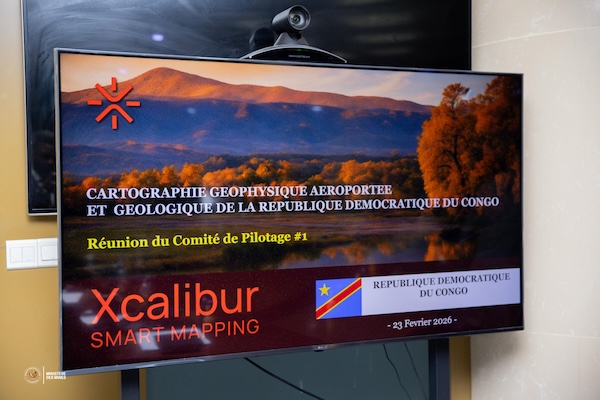
Mines Minister Louis Watum Kabamba chaired the first steering committee meeting on February 23, 2025, attended by company representatives. Discussions covered technical guidelines, the implementation timeline and operational requirements, including equipment mobilization and administrative compliance. No further details were disclosed.
The steering committee will oversee the program’s implementation, ensure compliance with financial procedures and recruit an independent consultant to supervise quality control. Authorities also announced a public awareness campaign.
According to the ministry, Phase B aims to modernize the country’s geological mapping, strengthen governance of geoscientific data, reduce exploration risk and build local technical capacity.
The three-year program will cover the provinces of Kasai, Kwango, Kongo Central and Katanga, spanning more than 700,000 square kilometers. It will increase survey density in areas identified during Phase A and conduct detailed investigations of detected anomalies. Magnetic and radiometric surveys will be carried out across the remaining territory, while gravity surveys will focus on the Central Basin to assess oil and gas potential. Detailed geological and geochemical mapping is also planned.
Six to eight aircraft planned
The project includes a capacity-building component, the full implementation of a Geographic Information System (GIS) to manage and analyze data, and the construction of a laboratory for chemical, petrographic and metallogenic analysis.
Operationally, Xcalibur plans to fly more than 2.7 million linear kilometers. Flight lines will be spaced 250 meters apart to generate high-resolution data across geologically diverse zones. The company intends to progressively deploy six to eight aircraft for the program.
During the dry season, one aircraft equipped with the Tempest electromagnetic system will operate full-time to collect more than 300,000 linear kilometers of data, with lines spaced 2.5 kilometers apart.
All airborne and ground data will be integrated into XENAI, Xcalibur Smart Mapping’s artificial intelligence platform. The company says the system provides secure access to multilayered geoscientific datasets and enables advanced analysis using machine learning.
The data processing is expected to produce integrated interpretation and prospectivity reports, identify priority geological targets and provide a factual basis for national planning and investment promotion. The Geological Service and the Congolese government will retain ownership of the data and determine how it is used and shared.
Ronsard Luabeya